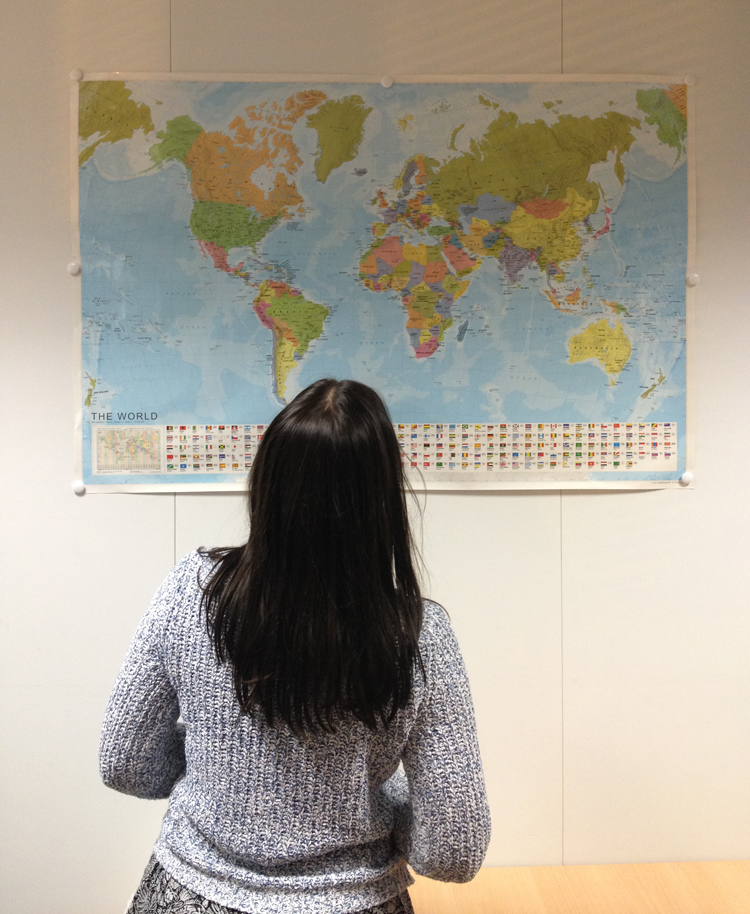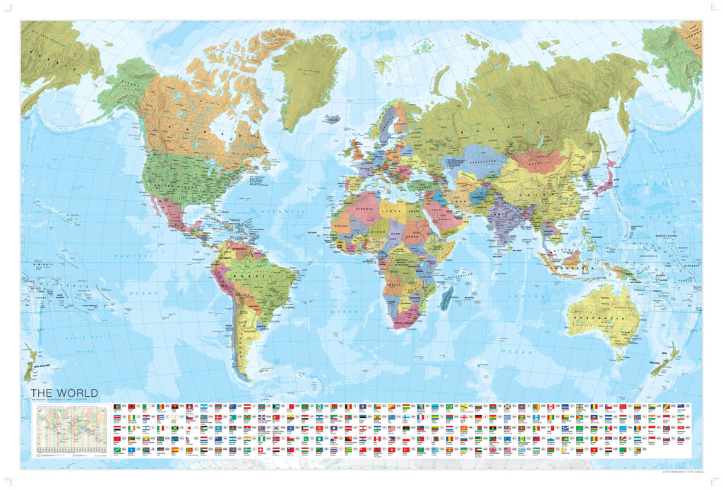

Bring the world into your classroom, bedroom or office with this large, laminated World Wall Map — vivid colours, national flags and clear labelling make geography easy to explore at a glance.
A detailed, dry-erase reference map trusted by students, teachers and travellers for accurate, easy-to-read geography.
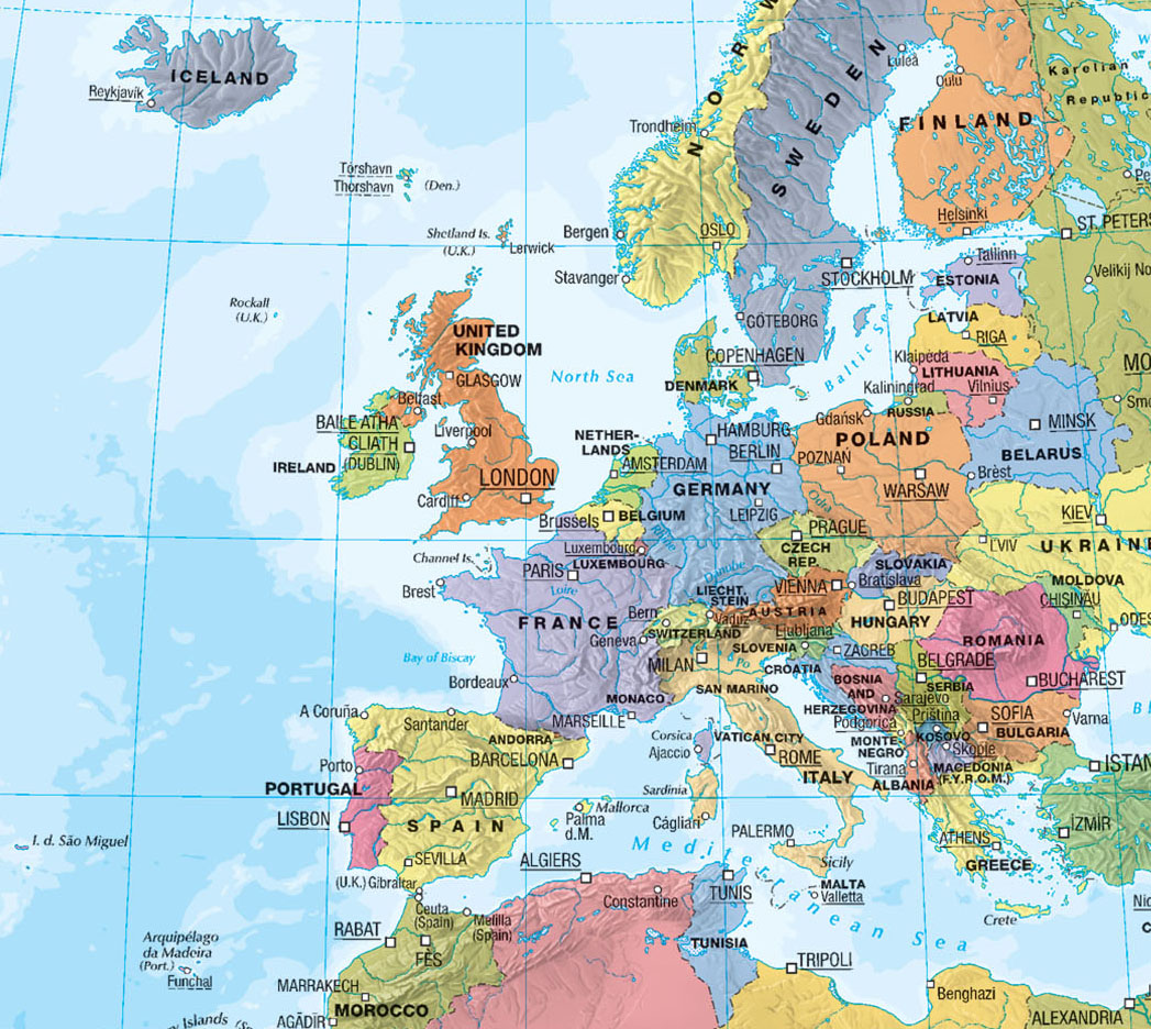
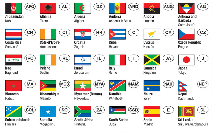
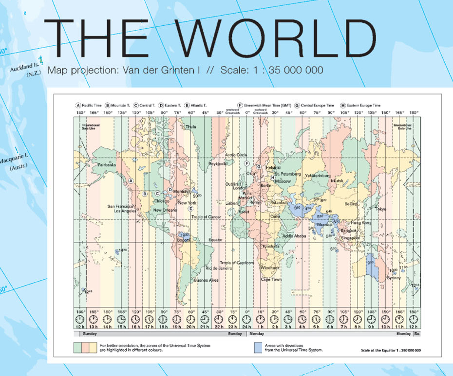
At a generous 120 x 80 cm, this map is big enough to anchor a classroom wall while staying practical for a bedroom or office. Every country is clearly labelled with its national flag, name, capital city and country code, all rendered in bold, vivid colour at a scale of 1:35,000,000 — detailed enough for serious reference, clear enough for quick, everyday use.
The durable lamination means it's built to last: write directly onto the surface with dry erase markers to plan a route, mark a lesson or track a trip, then wipe it clean and start again. Supplied in a protective tube, it's ready to hang and look great on any wall, whether you're teaching geography, planning your next big trip, or simply love seeing the world at a glance.
What You'll Discover:
- Large 120 x 80 cm Size – Big enough for a classroom wall, detailed enough for close-up reference, ideal for teachers and students alike.
- Dry-Erase Lamination – Write on with dry erase markers and wipe clean for repeated use, perfect for lessons, trip planning or classroom activities.
- Flags, Capitals & Country Codes – Every country clearly labelled with its flag, capital city and code, great for quick geography reference.
Add this fascinating World Wall Map to your wall today.