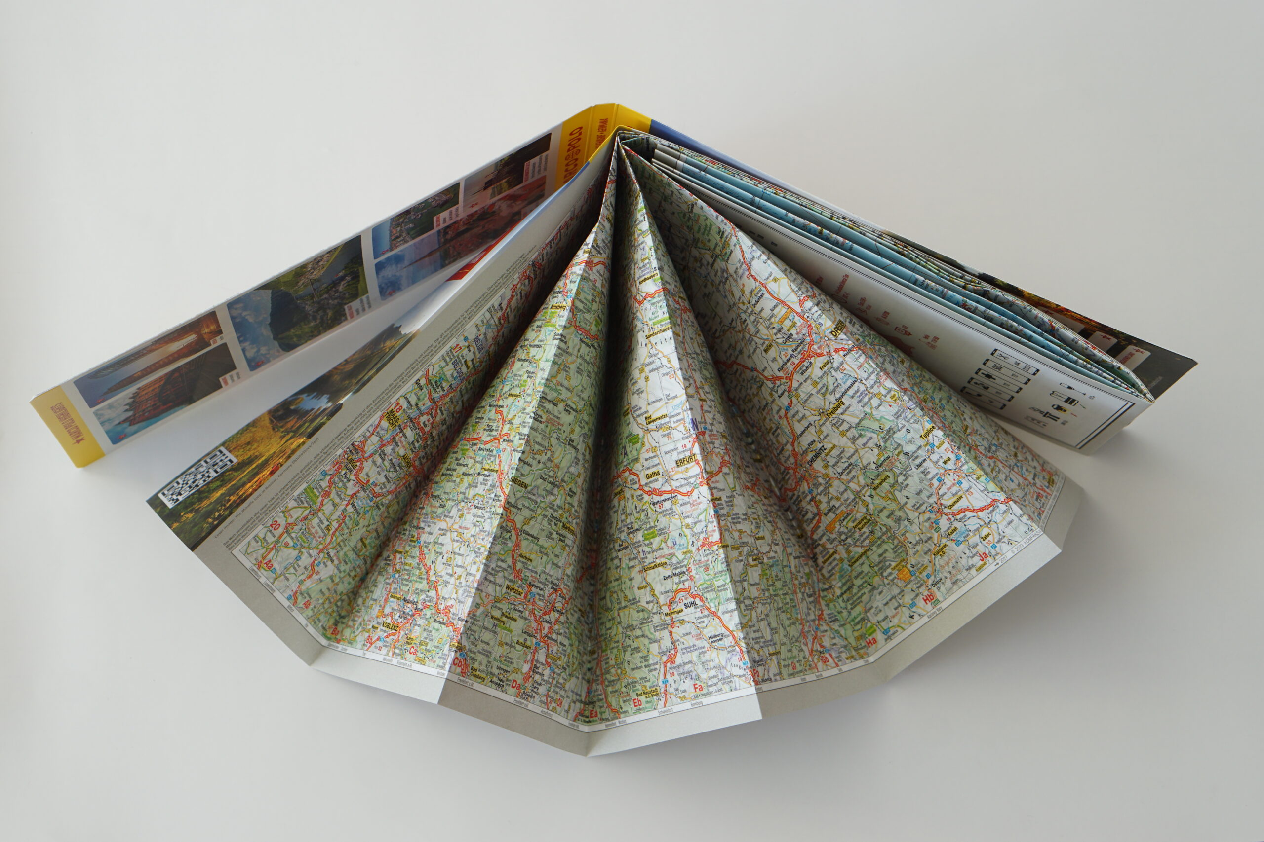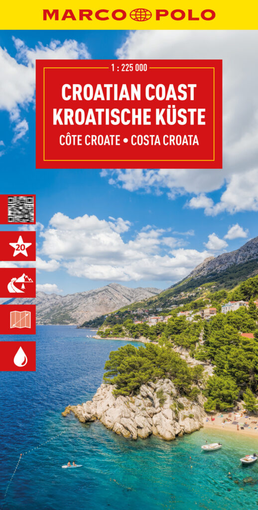

Plan and explore Croatia's Adriatic coastline with a durable touring map covering historic cities, island routes, scenic coastal roads and national parks.
Marco Polo is the proud map publishing partner for Race Across the World.
From the ancient walls of Dubrovnik and the waterfront of Split to the islands, beaches and crystal-clear waters of the Adriatic, this road map puts one of Europe's most spectacular coastal destinations in your hands — clear enough to read at a glance, yet compact enough for any bag or glove box.
It's also built to handle whatever the road throws at it — hard-wearing paper that copes with summer heat and extended touring journeys alike, so it's still legible by the time you reach your final stop.
What You'll Discover:
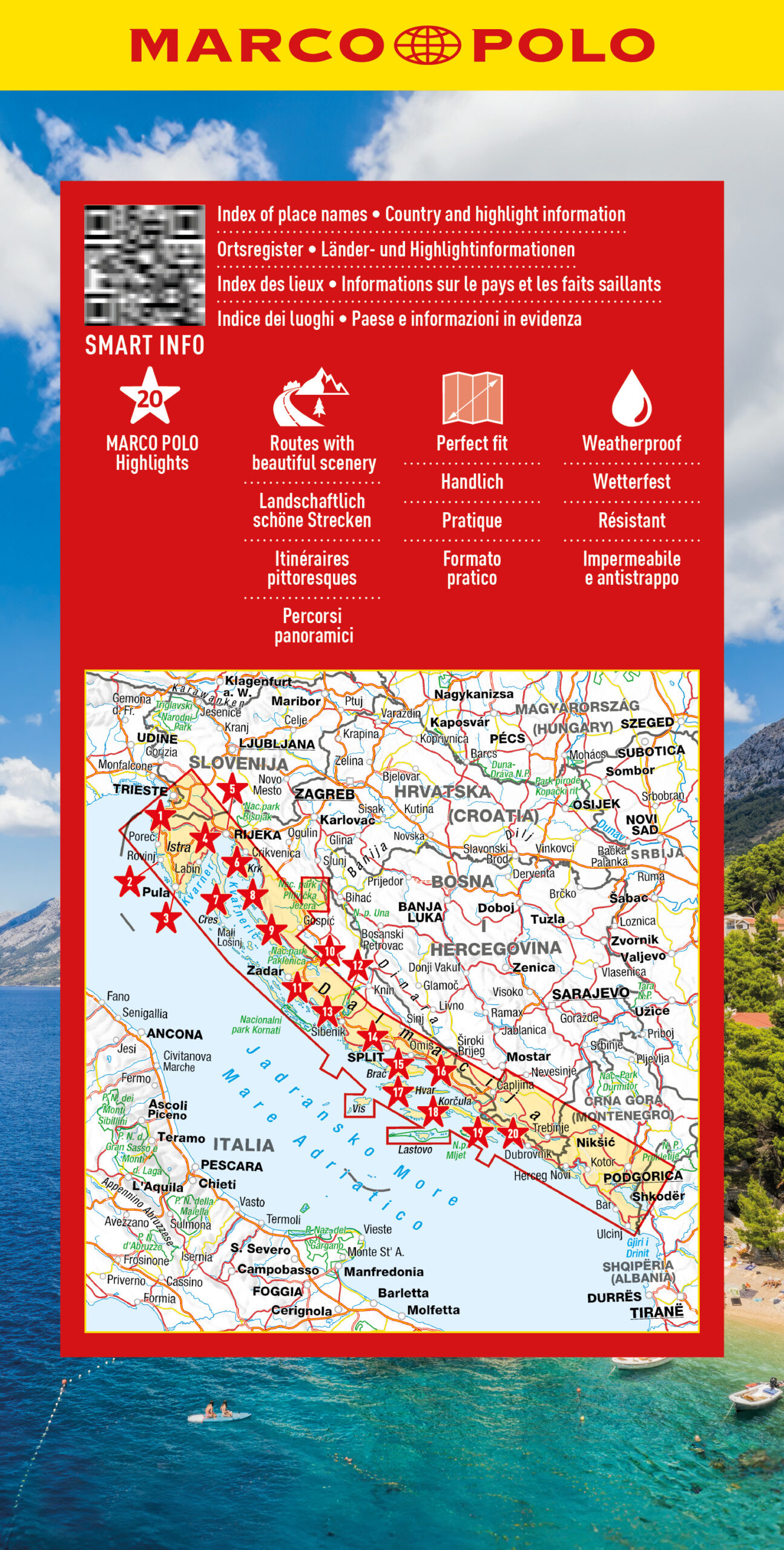
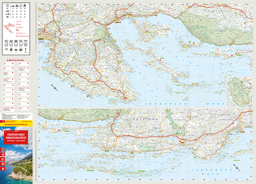
- Precise 1:225,000 Scale – Navigate coastal roads, ferry routes and regional connections with confidence, ideal for seaside touring or island-hopping.
- Tear-Resistant, Water-Repellent Paper – Stands up to rain, dust and constant folding, so it survives wherever the road takes you.
- Numbered Points of Interest – Historic cities, beaches, islands and cultural landmarks are marked with numbered stars; scan the QR code for downloadable descriptions.
- Comprehensive Index – Quickly locate any town, island or landmark along the Croatian Coast in seconds, also available via QR code.
- Inspiring Long-Distance Routes – Curated journeys along the Adriatic Highway connect Croatia's coastal highlights, mapped out to spark your next adventure.
Pack this map and start planning your Croatia road trip today.